LUBBOCK -
update 9:45 p.m.
The tornado watch has been dropped for our area tonight. No more thunderstorms are expected next few hours. But it won't stay quiet all night. Some better lift will move across the region, bringing the chance for more storms. This has been the window we've been watching for more widespread coverage of rain and storms.
Some time after Midnight, probably between 1 and 3 a.m. storms should develop over the western South Plains, then build east. Storms are possible around Lubbock between 3 and 5, give or take an hour. Storms should quickly exit the area, close to sunrise. These storms may become severe, the main risk being large hail.
Interactive radar
VIPIR Radar live stream

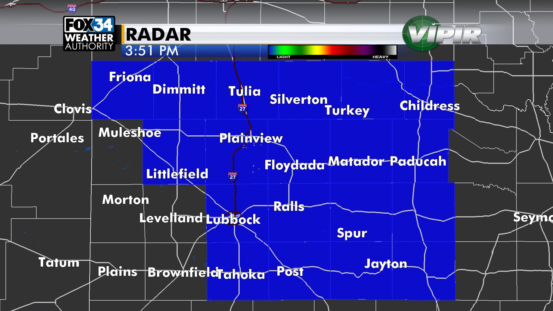
posted 3:52 p.m.
A tornado watch is in effect until 11 p.m. for Lubbock and roughly the northern and eastern half of the area. This means in and near the watch area there is the potential for thunderstorms to produce large hail, damaging wind and a few tornadoes. Counties in blue below are in the tornado watch:
This afternoon it's more of a hail risk with storms, with the tornado risk edging up a little by this evening, as humidity increases along with an increase in wind shear. Throughout the
Interactive radar
VIPIR Radar live stream
Note that if there is long-form coverage you can watch by clicking the VIPIR live stream link above.
The first storms fired up around 3:30 over the central South Plains. Storms will move to the NNE. As deeper moisture builds into the area next few hours storms will get a bit more organized. A key factor will be the return of this moisture. The dew point map below shows the better humidity where the number is 55 or higher. This will update every few minutes:

TIMELINE: Expect storms around the area this afternoon into this evening. The watch goes until 11, but this round of storms may be out of the area by then.
ROUND 2: Some better upper-level lift will slide across the region late tonight into early in the morning. Another round of storms will likely move across much of the area at some point between Midnight and sunrise. This round of storms may also be severe, with the risk of large hail, damaging wind and a tornado. Storms should be moving out of the area by sunrise.
WINDY DAY: The dry line will quickly mix east of Lubbock tomorrow afternoon. It'll be a dry and windy day, high in the lower 80s.
WEEKEND: Saturday looks great, high in the mid to upper 70s. It'll be cooler with a slight chance for rain and storms Saturday, high in the mid 60s. The chance for rain is a little bit higher on Monday.
NEXT WEEK: Upper-level ridging will keep things fairly quiet for the middle of the week. We're watching an upper-level storm system moving this way by late next week. This could lead to storms either late next week or next weekend...too far away for specifics.

Check back here for updates through the evening. We'll also be on TV and radio as needed.
-Matt