LUBBOCK, Texas -
Connect with me on and .
Click here for interactive radar.
Click here for the FOX34 VIPIR radar live stream.
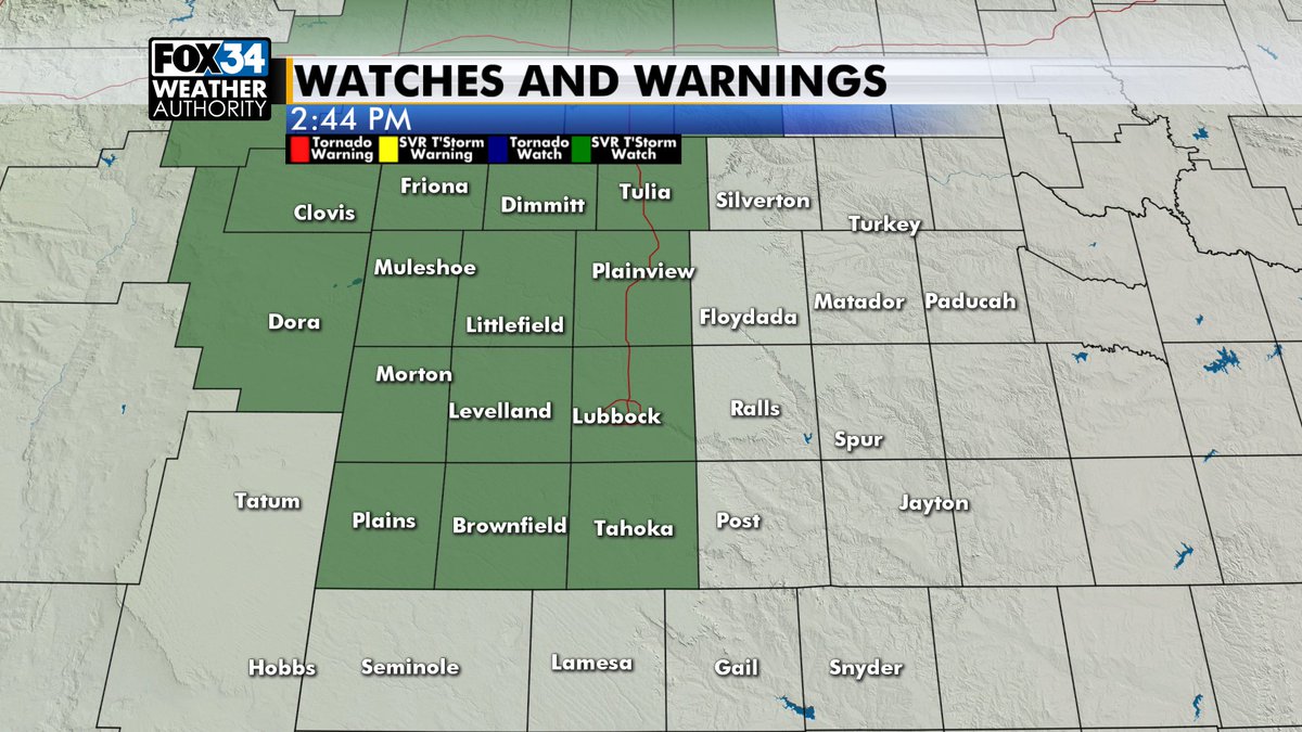
We're continuing to monitor the threat of severe weather this evening. A Severe Thunderstorm Watch is in effect for the western half of the South Plains until 10 p.m. This does include Lubbock. The main threats tonight are large hail and damaging winds. Isolated tornadoes are also a possibility.
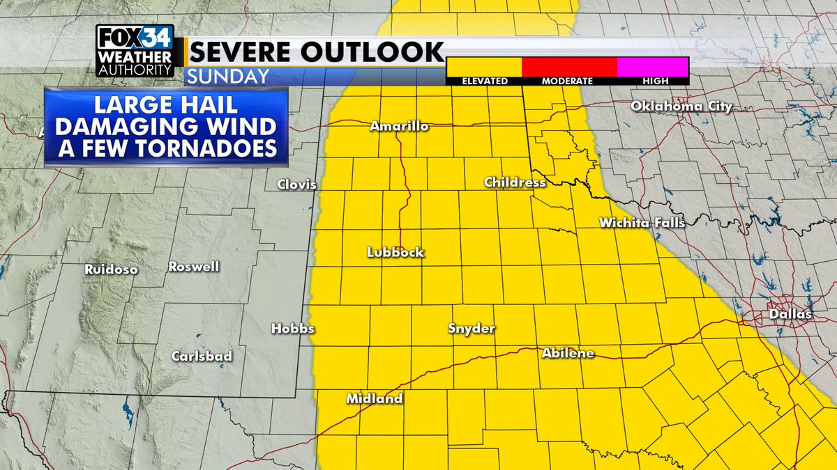
Sunday has another, slightly better chance of severe weather. Again, large hail and strong winds will be the biggest threats, with a few tornadoes possible. The entirety of the South Plains has been included in a "slight risk" of severe weather by the Storm Prediction Center.
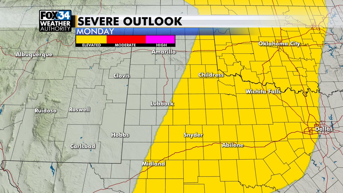
The threat shifts east on Monday, but some of our southern and eastern counties could see some storms again.
By Tuesday, we're expecting much calmer weather: lots of sunshine and temperatures in the low 90s. The quieter weather will continue through much of the week. By Friday, temps will drop into the mid to upper 80s and winds will pick up as a storm system moves by to our north. At this point, rain chances for us look minimal with that system, but it's still a little too far out to say for certain. We'll be keeping an eye on how things develop over the next several days.

Enjoy the rest of your weekend, and congrats to all the new grads!
-Christopher